 Record Drawings
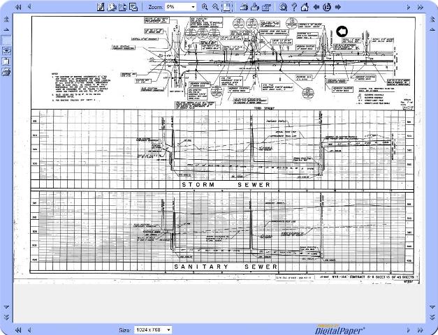
The Records and Archives room maintains a complete collection of record drawings for nearly all County owned road construction, County owned sewer construction, and various other County owned assets, dating back to the 1870's. Most of these drawings are available for public viewing. Many digital copies are also available and can be e-mailed upon request.
The following are some of the types of documents for which we are responsible:
- As-built drawings and sewer plans dating back to 1876
- Hard-copies of aerial imagery dating back to the 1930s
- Right-of-Way mapping and survey information
- Department of Transportation highway and bridge plans
- Maps and plans of County Parks and Seneca Park Zoo
- Topographic and Land Use maps
 Aerial Photography
In addition to the physical and digital construction plans which are maintained in the Records and Archives room, there are also a significant number of Aerial Photographs and GIS Maps which can be custom ordered for nearly any project. Current imagery utilized by the GIS Division is provided by Nearmap. These images allow the incorporation of actual photographic images, with information from GIS maps, creating "hybrid" maps which can be used for nearly any county project.
These hybrid maps consist of an image of the area of interest, overlayed with any significant information required. GIS data usually consists of street names, as well as various utility and/or parcel information.
Contact Us
We are happy to assist both local governments and the public with researching information.
If you are looking for information related to subdivision maps or your property deed, please use the links below:
Subdivision Maps: Monroe County Office of Real Property Phone: 753-1125
Property Deeds: Monroe County Clerk's Office Phone: 753-1600
The Records Room is located at:
CityPlace
7th Floor
50 West Main Street
Rochester, NY
Due to limited staffing, please call or email to setup an appointment to search maps and records.
For more information, contact the Records Room Staff at (585)753-7607 or by e-mail.