 A Global Positioning System (GPS) is a satellite-based navigation system that determines precise location and time on earth. While orbiting the planet, satellites broadcast signals, which receivers on Earth decipher and translate into a geographical position. Geographical Information Systems (GIS) consume this information for use in mapping, routing, and other analytical tasks. For more information on GPS, please visit the links below.
Click here to learn more about GPS
GPS within Monroe County
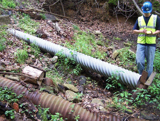
In 2001, Monroe County developed the GIS Services Division, (within the Department of Environmental Services) which incorporated the unique visualization and analysis capabilities of GIS into its everyday business goals and processes. An integral piece of this movement was using GPS technology to accurately track the assets of the Monroe County Pure Waters Sewer Districts. Using two Trimble mapping grade GPS receivers, the County was able to complete an inventory of the Pure Waters Division’s assets within two years. This particular project illustrated the value and opportunity that GIS and GPS could add to the county, helping to streamline existing workflows and gather accurate spatial data. The high return-on-investment (ROI) that this technology provided justified an expansion of the County’s inventory of GPS equipment, which now includes several advanced GPS instruments, as well as survey grade technology.
Today, the County is utilizing the GIS Services Division more than ever. Current projects taking advantage of GPS technology include the County’s fiber build-out, inventory and maintenance of street lighting infrastructure, survey monuments, and park trail mapping, just to name a few. In addition to these on-going GIS projects, GPS is seen as a value-added technology and is often used to assist with other County projects, such as calculating volumes of our landfills or ground-truthing flood zones estimated by a flood analysis application.
Monroe County currently maintains a Continuously Operating Reference Station (CORS) that is located on Union Street just outside the Village of Spencerport, New York. This reference station currently tracks the following satellite constellations: GPS, GLONASS, Galileo and BeiDou.
This reference station is now part of the New York State Spatial Reference Network (NYSNet). If you are interesed in utilzing real-time corrections from this station, visit the NYSNet website to become a registered user.
For more information on our GPS program, please contact the GIS Services Division at [email protected]